adventure
Pulhapanzak Falls, Lake Yojoa
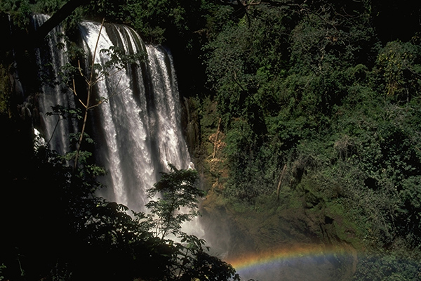
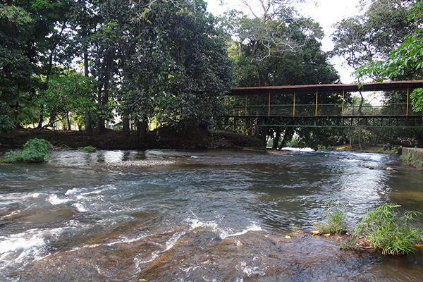
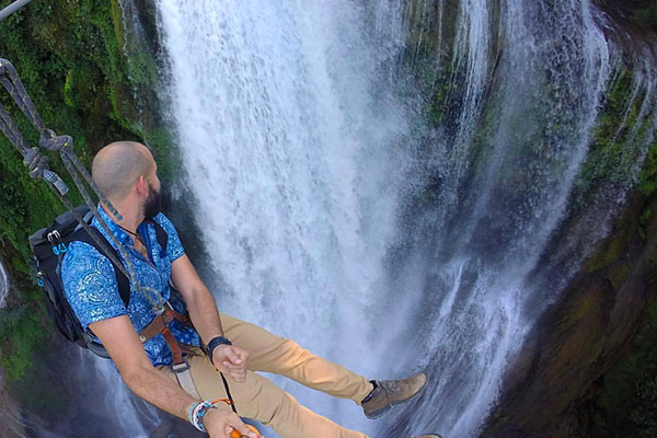
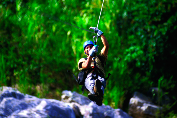
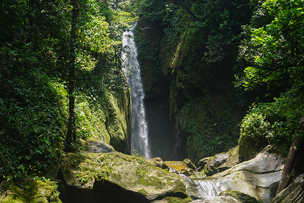
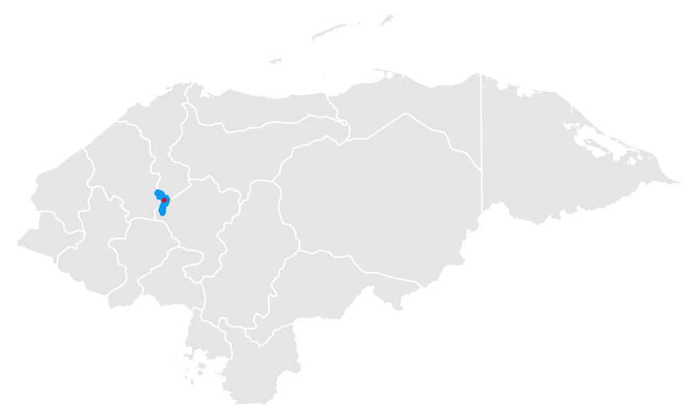
Pulhapanzak Falls, Lake Yojoa, When the course of the Lindo River runs out of soil, it falls 43 meters in Pulhapanzak with sufficient flow to cause a 'roar' carried by the fine breeze felt some distance away from the falls. The spa also offers you an estate where you can share in the milking of cows and cheese making, and lodging in cabins. Something less known about it is that there are important pre-Columbian footprints of a stone walkway and a square surrounded by 4 mounds of the classic period (600-900 BC) on the site. The Lindo River follows its course with some fast sections that you can descend on a giant float (river tubing) for 2 hours. If you are looking for more adventure, you can zigzag up to the cataract in one of the 12 canopy lines that also take you to the nearby forest. Pulhapanzak, part of the area of influence of Lake Yojoa, is in the village of Buenaventura, 17 km from Peña Blanca and overflows from that risk always covered with water that you can’t keep from photographing.
Location
Tours deals
La Campa Canopy, Gracias, Lempira
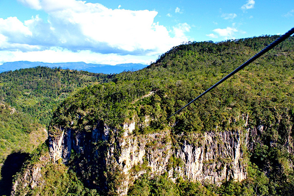
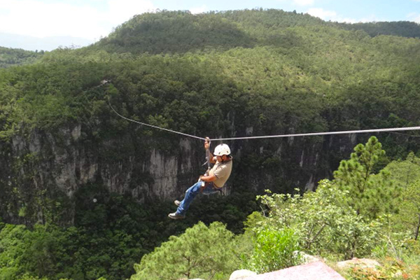
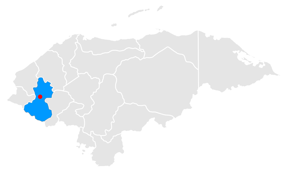
La Campa Canopy, Gracias, Lempira, The colonial city of Gracias, located in the foothills of the Celaque National Park, is one of the oldest in Honduras. Even more important is the priceless value of the Lenca spirit that survives in the city and its nearby mountains. A bastion of the Lenca culture, Gracias is a window to the descendants of the most important indigenous people that the Spaniards found when they arrived. If you like nature and strong emotions, you cannot keep from trying the La Campa canopy. With 600 meters in length and 200 meters high, it is the longest and highest canopy in Central America.
Location
Tours deals
San Silvestre Eco Estate
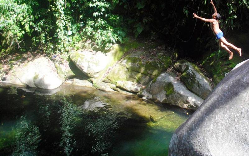
San Silvestre Eco Estate, In 2007, this old fruit farm became the San Silvestre Eco Estate, so that through the promotion and implementation of responsible and sustainable tourism, the local flora and fauna would be protected and preserved. In it you walk through a tropical forest that envelops you and spreads the well-being of the natural wealth of the site. As part of the tour you can also take a refreshing dip in the fresh and crystal clear waters of the San Silvestre River.
Location
Tours deals
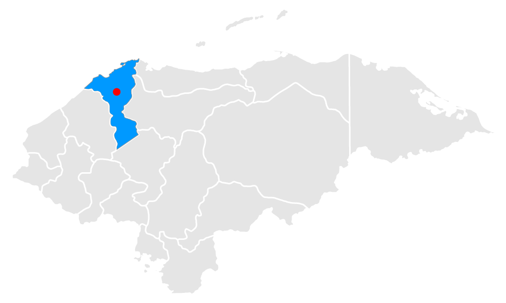
Sendero Guaruma, La Ceiba, Atlántida
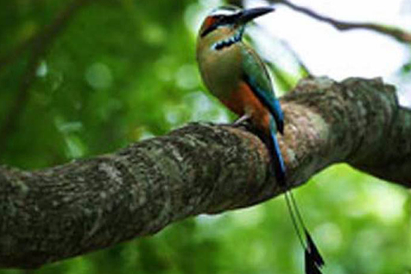
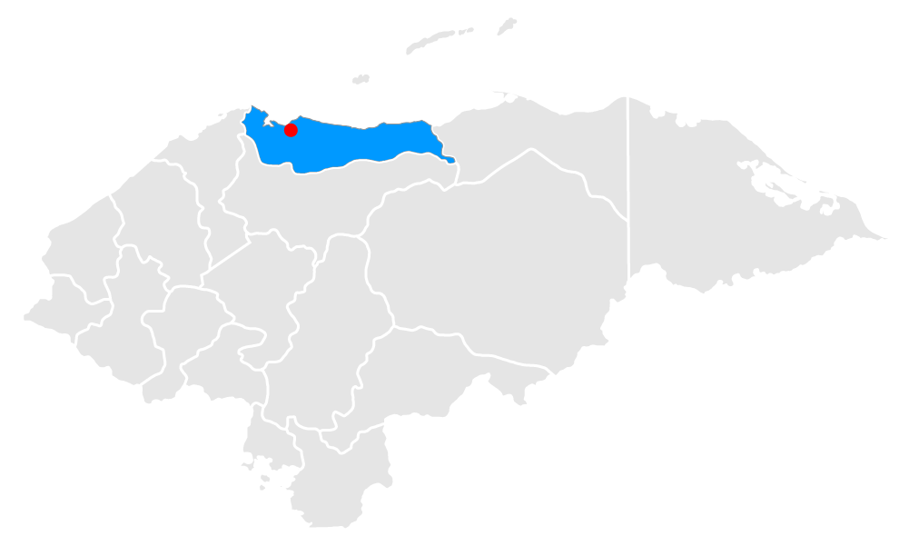
Sendero Guaruma, La Ceiba, Atlántida, A community and environmental conservation experience since its origins. This route, traced by the young volunteers of the Guaruma Organization, begins in Las Mangas, one of the 72 communities in the buffer zone of the Pico Bonito National Park. It’s divided into two: the Flores Trail and the Trees Trail. Young natives of the Cangrejal River basin guide you for 2 km of natural adventure, suitable for all ages, where you can find orchids, medicinal plants, fruit and timber trees, various species of birds, such as hummingbirds, mot mots, water ducks, white herons, garzas morenas (or Ardea cocoi), golden oriole or swallows. This option of exploring the Pico Bonito National Park, allows you to have direct contact with the daily life of the community of Las Mangas, and takes you through all the living nature of the Flowers and the Trees trails, through a hammock bridge with great views, to the crystal clear ravine "La Muralla" in which you can also bathe.
Location
Tours deals
Yojoa lake
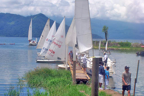
Yojoa lake, It’s the only lake of volcanic origin in Honduras and the largest fresh water reserve in the country. In 2005 it was recognized as a Wetland of World Interest by the UN, through the RAMSAR convention. The place offers tourists multiple options to spend several days in the area with a wide variety of restaurants, recreation centers with pools and aquatic amusements, and zoos. It is surrounded by great mountains that reach heights of more than 2,600 msnm. Some of these mountains are listed as national parks, among them are the Azul Meámbar National Park on the south shore of the lake and the Santa Bárbara to the north.

Location
Tours deals
Canopy in Pico Bonito, La Ceiba, Atlántida
Canopy in Pico Bonito, La Ceiba, Atlántida, It consists of 9 high adventure cables. Each cable has its own personality and offers a stimulating experience. The last cable, which is 600 feet long, will take you into the darkness of the jungle over the river, at a very fast speed. A short walk where you will learn a little about the flora and fauna inside Pico Bonito is included on the tour.

Location
Tours deals
Capiro Reef, Tela, Atlántida
Capiro Reef, Tela, Atlántida, Fishermen told of some "stones” between Punta Sal and Punta Izopo. And in 2009, scuba divers discovered an underwater coral range, largely alive, that forms the Capiro reef. About 8 km of coral reef in three colonies, submerged in the center of the Bay of Tela, protecting its beaches of transparent water at 28-32ºC. The Capiro reef houses the colors of a large number of Caribbean fish and several species of coral that form the furrows and ridges that rise from 25 m to 10 m deep. The predominant species of the bar is the lettuce coral, which in some areas occupies 90% of each m2 of coral. To reach it you travel between 7 and 8 km from the coast. Here you can receive PADI courses for beginners and experts, or immerse yourself in the 20 sites identified along the submarine novelty of Tela, another unexpected adventure.

Location
Tours deals
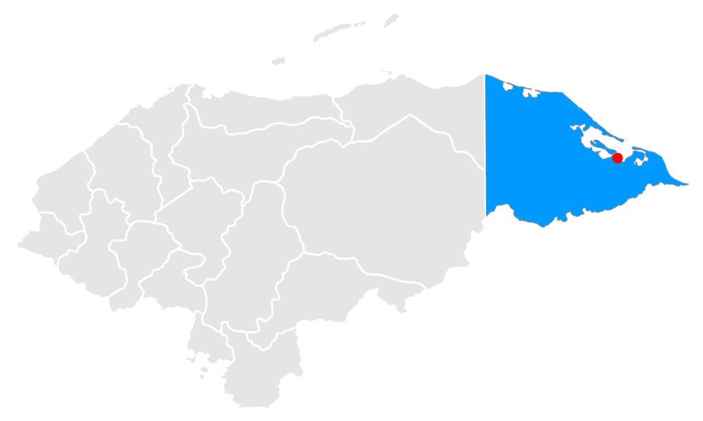
The Mosquitia, Gracias a Dios
The Mosquitia, Gracias a Dios, The most remote area of Honduras is also the one with the greatest biodiversity and ethnic concentration. Here is the largest tropical rainforest in America after the Amazon, formed by: the Río Plátano Biosphere Reserve, which is a World Heritage Site of Humanity since 1982; the Patuca National Park; the Tawakha Anthropological Reserve; the Cruta Caratasca Wildlife Refuge; and the Rus Rus Biological Reserve. To venture into La Mosquitia, assisted by expert guides, is to explore one of the most extreme areas of the continent. On the other side of the village of Las Marías, you enter a timeless world where the trees do not allow seeing the sun, live with wild animals and travel downstream, overcoming jungle, savannahs and lagoons, until you reach the Caribbean to tell what may be the best adventure of your life.
Location
Tours deals
La Canasta Trail, La Ceiba, Atlántida
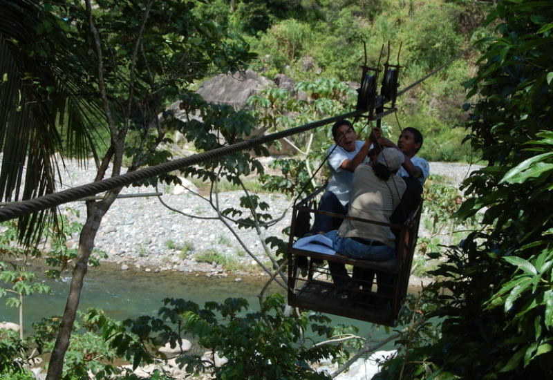
La Canasta Trail, La Ceiba, Atlántida, As it happens around the world, many times the striking part of a place, sooner or later, ends up being part of its name. This happens with the trails of the Pico Bonito National Park. Like this one, baptized by the way in which the adventure begins: crossing the Cangrejal River in an aerial metallic basket. It starts in the community of El Pital, where you can buy handmade embroidery and possibly see its manufacturing process. In addition to crossing the river hanging in a basket, you test your adventurous spirit with a walk that rewards you with a pool hidden among the trees.

Location
Tours deals
Zacate River Trail, La Ceiba, Atlántida
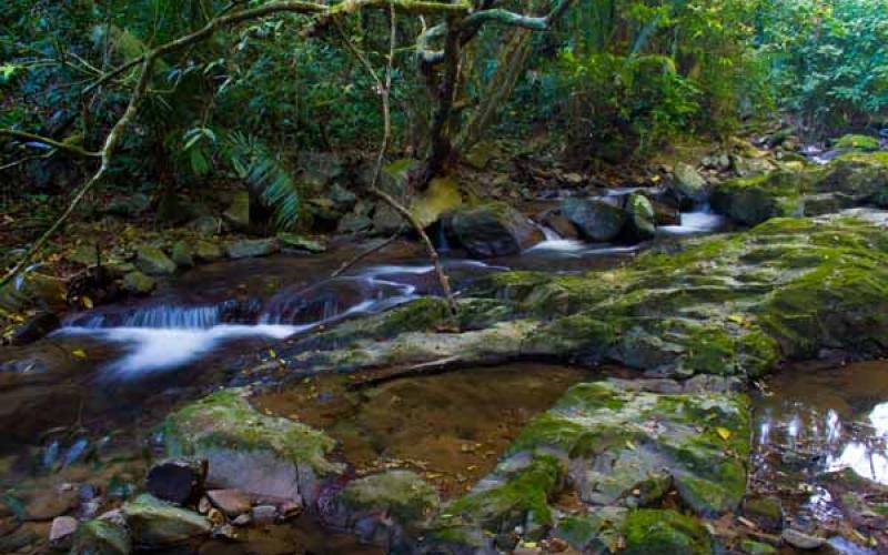
Zacate River Trail, La Ceiba, Atlántida, This route is another way of exploring the Pico Bonito National Park, where water is the protagonist from beginning to end and you can find several species of tropical birds, such as toucans and swallows. Through the trail you follow the course of the Zacate River and its crystalline waters, sometimes close by, sometimes far enough to appreciate the river's landscapes, until you reach a beautiful waterfall of about 40 m in height.

Location
Tours deals
Cangrejal River, La Ceiba, Atlántida
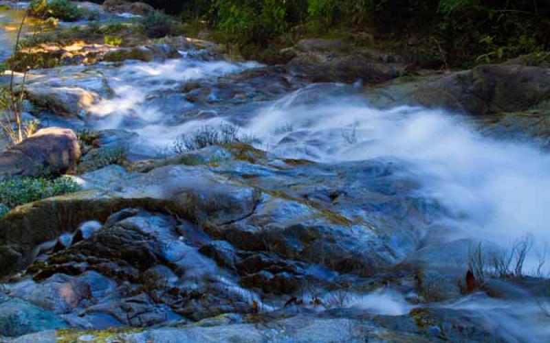
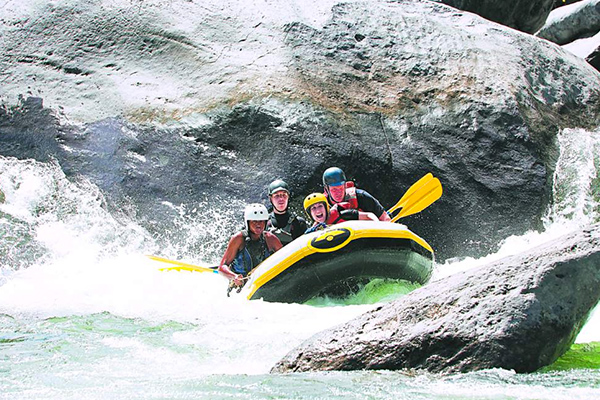
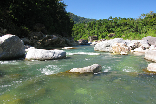
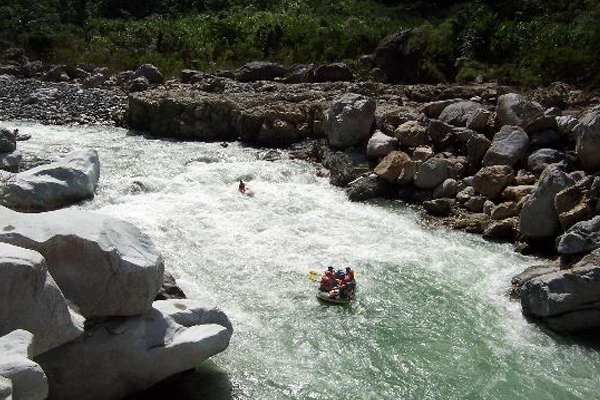
Cangrejal River, La Ceiba, Atlántida, The streams of the Cangrejal River cross the Pico Bonito National Park and the rest of the Nombre de Dios mountain range, forming some of the best rapids in Central America. Few cities in the world share with La Ceiba the possibility of rafting just a few kilometers away from the city center. Whether you are a beginner or an expert, you live an exciting natural experience in the Cangrejal in rapids with difficulty levels of 2, 3 and 4, assisted by qualified personnel and with equipment that meets the international requirements for rafting. Experienced guides give you an adequate training for what will come downstream, and already on the raft, with all the security measures reviewed, you are ready to fight against the strength of the river and take advantage of it to get around your course. Winter is the best time for rafting in a mighty Cangrejal. Canopy, walks, riverhiking and various river activities are excellent complements to the main attraction.

