Archaeology and History
Eco-Archaeological Park of the Naranjos, Yojoa Lake
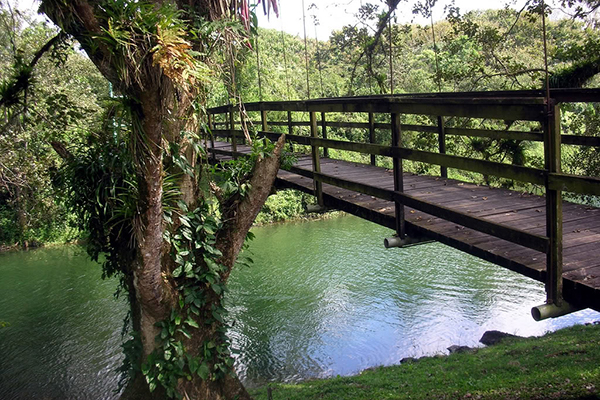
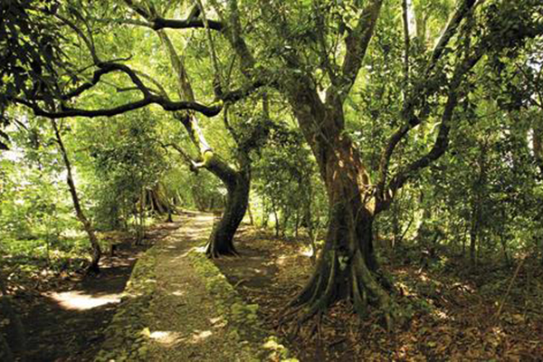
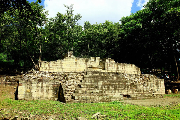
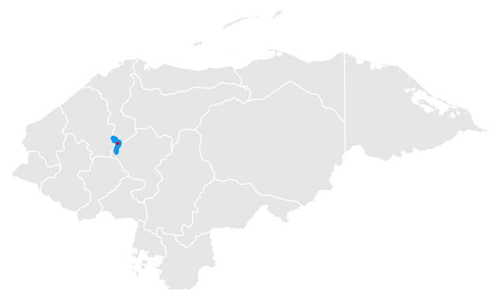
Eco-Archaeological Park of the Naranjos, Yojoa Lake, it is the point where nature and the vestiges of a pre-Columbian city of 2800 years meet. The Archaeological Eco Park is located in the community of El Jaral, in the Santa Cruz de Yojoa municipality, in the department of Cortes, approximately 3 kilometers away from the Peña Blanca municipality. You are received by a museum with archaeological finds from the park. Its three paths through the broadleaf tropical forest are one of the best places in the lake for hikers. A suspension bridge adds a little spice to the route, but the main course are the vestiges of a city from the year 800 a.C. with a community hat took advantage of the lake basin and its rivers to trade ceramics, quetzal feathers and cacao. Studies continue in order to identify the ethnic origin of this civilization, but its features are characteristic of the Lenca culture. There are mounds up to 20 meters high that speak of the importance of the city. And there is more: the "Island of Windows”, a demanding 3-hour tour that completes the archaeological experience with adventure.
Location
Tours deals
The Bird Park and Guacamaya Mountain Reserve "Macaw Mountain", Copán
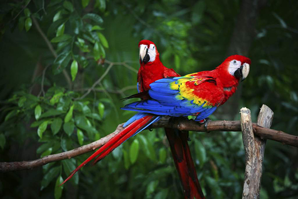
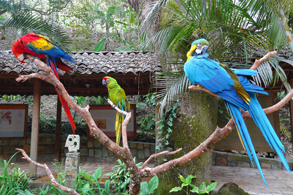
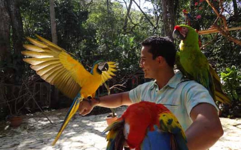
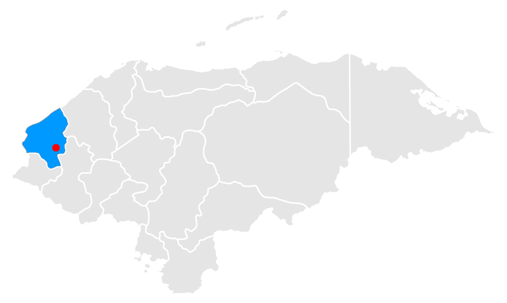
The Bird Park and Guacamaya Mountain Reserve "Macaw Mountain", Copán, is a center for the conservation, breeding, rehabilitation and lodging of birds, located a few kilometers away from the center of the town of Copán Ruinas, in the way on the road that leads to Aguas Calientes, also known as hot springs. A colorful ecological park surrounded by ancient native trees and a coffee farm, and crossed by the refreshing waters of the Cakaguatales ravine, where you can have breakfast, lunch or snack after walking among more than 180 species of Honduran and Central American birds, besides birds that migrate from the Caribbean and from our brother country of Mexico, and some from South America. Do not miss out on the chance to feel how the legs of a red, green or blue macaw lean on your arms, your shoulders or your head while extending its beautiful wings wide. That is the best time to take a picture of your holiday worthy to share with your friends.
Location
Tours deals
The Fortress of San Fernando, Omoa, Cortés
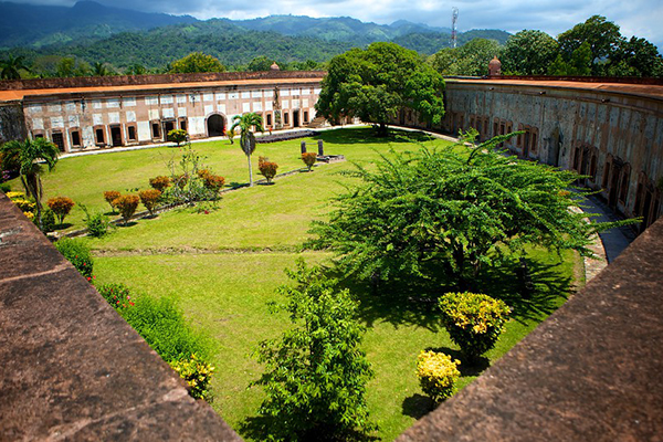
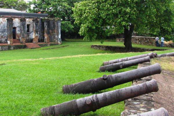
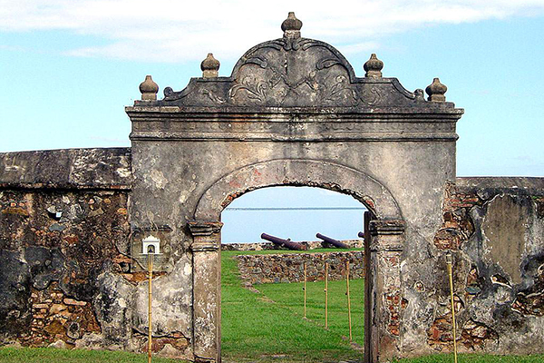
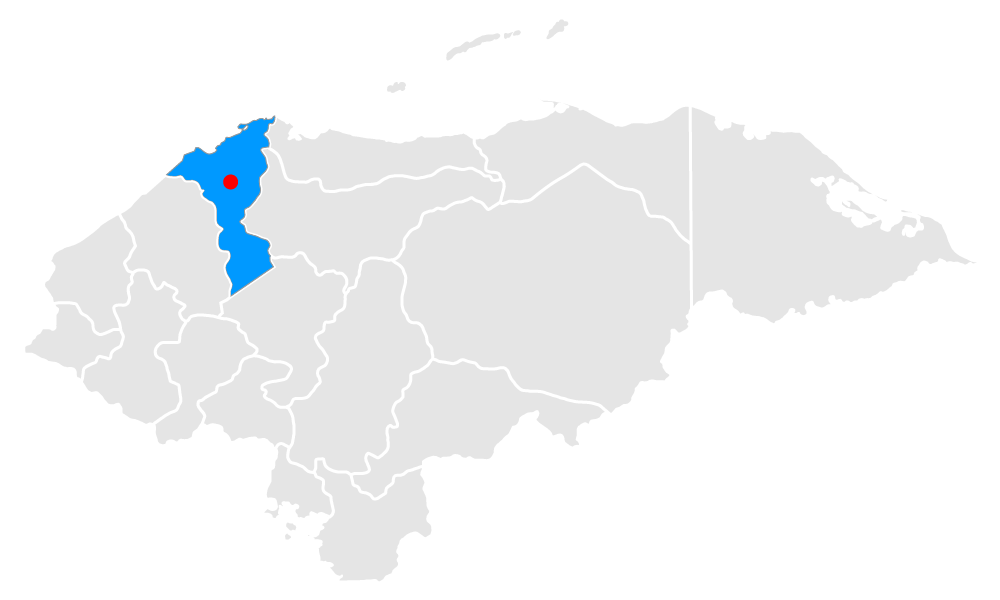
The Fortress of San Fernando, Omoa, Cortés, rises in the late eighteenth century a few meters away from the coast to defend Honduras from pirates’, buccaneers’ and corsairs’ attacks that threatened the Caribbean in its time. Today the sea is several meters away. Viewed from the air, it gives the impression of being an arch pointing to the sea, already tense and with the arrow ready to shoot. It offers the coast a wall in semicircle, constructed partly, like the rest of the fort, with coral remains. In its almost 340 years it has been bulwark, trench, market, jail and monument ... and people call it "The Castle". It is the most important colonial legacy in the Caribbean coast of Honduras and perhaps the main military construction of the time in Central America. It has 31 vaults under which there are rooms, kitchen and a chapel, and it is not difficult to imagine the smell of gunpowder from the terrace, populated by guns during a combat.
Location
Tours deals
Rastrajón, Copán
Rastrajón, Copán, In this archaeological site, recently opened to the public, you have a panoramic view of the Copan valley, including the Acropolis and all the buildings of the Archaeological Park of Copan Ruinas. It was a religious place, but above all a guard and defense post of the city-state of Copán. Here you can see other shapes and motifs, buildings with vaulted rooms, built with stone blocks and furnished with benches properly molded to their surroundings. Its walls are ornamented with fine sculpture. It was occupied and used in two moments: in the year 425, before the establishment of the K'inich dynasty YaxK'uk'Mo ', who is the founder and first ruler of the pre-Columbian Mayan civilization in Copan, whose name means ‘Primer Quetzal Guacamaya’ (First Quetzal Macaw), and ruled the city for only 11 years; and after the collapse of Copan, around 822 AD. Scientists continue to excavate and, above all, unite the pieces of Copan's wonderful past. Rastrajón is the most recent result.

Location
Tours deals
The Fortress of Santa Barbara, Trujillo, Colon
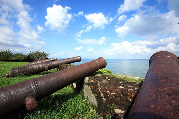
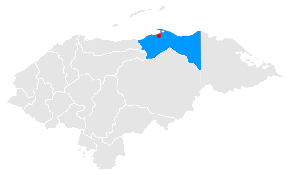
The Fortress of Santa Barbara, Trujillo, Colon, Trujillo’s bay’s natural conditions are ideal to establish one of the best ports in the area. The barrier of Punta Castilla not only protects the coast from storms, but also becomes a shelter of deep and calm waters. During the colonial period, it suffered attacks from pirates and corsairs of different nationalities that were at the service of different crowns. The Spaniards understood the importance of the square and the need to equip it first with artillery and, years later, in a defensive bulwark. Thus, almost in the middle of the seventeenth century, the Santa Barbara Fortification is completed, with guns that still point to the sea in the face of the possibility of another of the many attacks it resisted. The colonial monument is currently open for visits and it is one of the main tourist attractions in Trujillo. It was declared a "National Monument" on March 8, 1990, under Presidential Agreement No. 049. In 1997 it became the property of the Honduran Institute of Anthropology and History. Inside the Fortress of Santa Barbara there is a museum with Archeological, Colonial and Republican exhibition halls. The museum has a varied collection of objects of great historical and cultural value that reflect the pre-Columbian and colonial past of the city.
Location
Tours deals
Copan's Ruins Archaeological Park, Copan
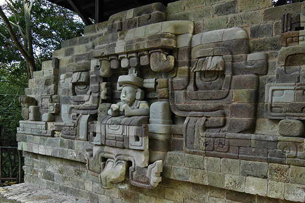
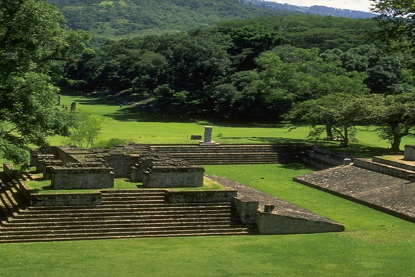
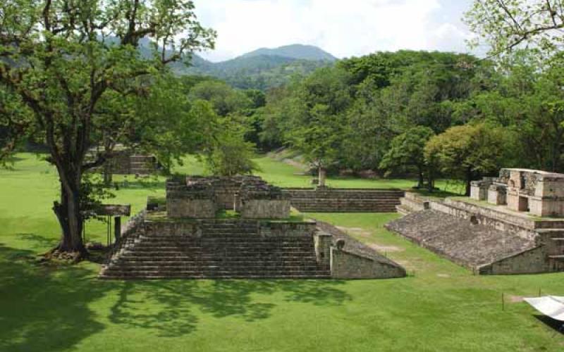
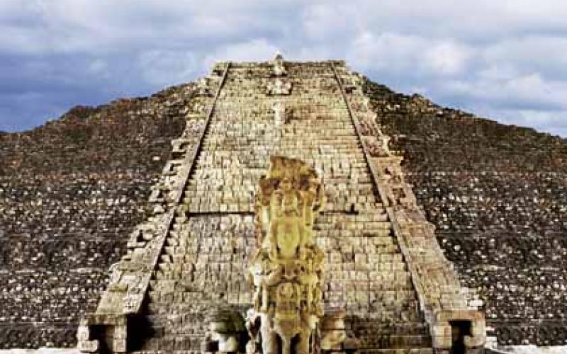
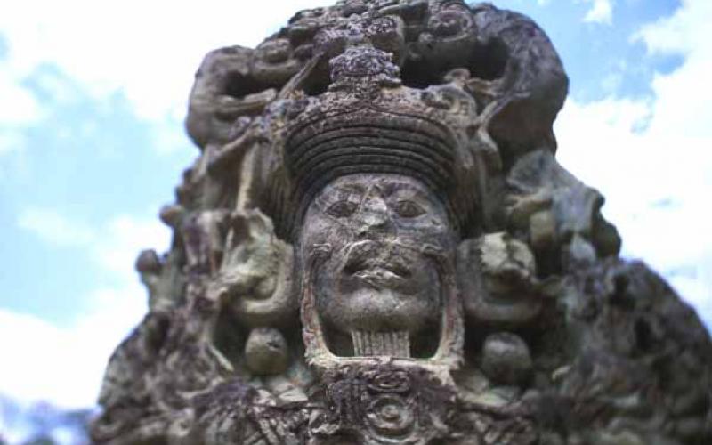
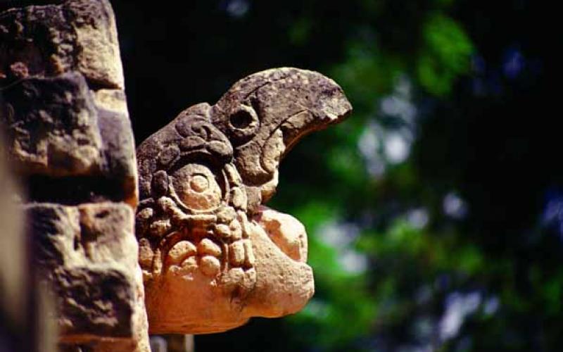
Copan's Ruins Archaeological Park, Copan, It’s a collection of monuments of extraordinary individual value and a monument in itself (World Cultural Heritage, UNESCO). The richness, style and finishes of its sculptures and architecture are unique among the Mayan sites discovered. This political and ceremonial center, capital of the city-state of Copan, ruled the southern border of Mayan civilization, and reached 21,000 inhabitants, including some non-Mayan peoples, between the 5th and 9th centuries. This different origin is reflected in its own sculptural style, which provides the longest, stone-carved, text of the Mayan world: the Hieroglyphic Staircase, which borders the other buildings of the Acropolis, including the Ball Park, the images of rulers and altars in the Great Plaza, the tunnels and the set of graves located in the vicinity of the archaeological park. Part of the beauty of Copan is found in the subsoil of monuments planted in a natural park where animals still live in their habitat, such as macaws flying freely in the locality and plants that animated the ceremonial and political imagery of this impressive monumental and cultural display. Altar Q stands out as the most famous monument in Copan. It was dedicated by King Yax Pasaj Chan Yopaat in 776 AD. C. and has representations of the first 16 kings of the Copan dynasty carved on its sides. Meanwhile, the Stone Xukpi is a dedicatory monument of one of the first phases of Temple 16 (Structure 10L-16), built to honor K'inich Yax K'uk 'Mo’, among others.

Location
Tours deals
The Fort of San Cristobal, Gracias, Lempira
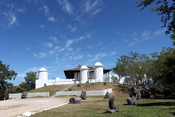
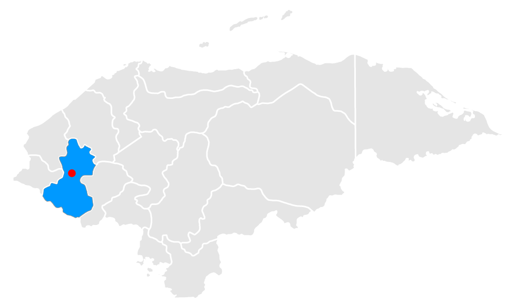
The Fort of San Cristobal, Gracias, Lempira, dominates the city of Gracias from the highest part of the hill of San Cristobal. It is built following the plans of President Juan Lindo, in the second half of the nineteenth century, to defend the city from the invasion of Guatemalan and Salvadorian armies in the troubled years of post independence, federal and internal wars between liberals and conservatives. The land was a estate owned by Lindo himself, who is buried in the fort, although it was José María Medina who built it between 1864 and 1875. As you approach the white walls of its star-shaped structure, you distinguish six towers that defended the perimeter of the city, and with it the country’s west, with cannons and shooters with rifle. You are also received by two cannons that served in the Fortress of San Fernando in Omoa (a Spanish fortress located in the coastal city of Omoa). The name of the fort derives from Cristóforo, according to the catholic tradition: "the one that takes to Christ", a symbol of its physical strength. The project of conditioning and highlighting the value of the Fortress was financed by the presidency of the Republic through the Honduran Institute of Tourism and in conjunction with the Municipality of Gracias.
Location
Tours deals
White City, Gracias a Dios
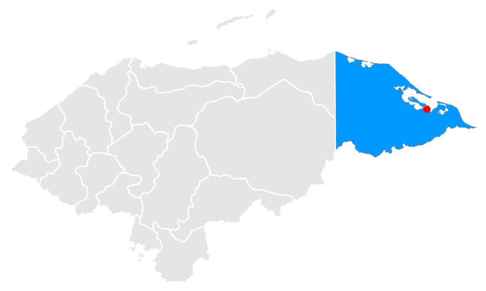
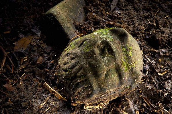
White City, Gracias a Dios, The Legend of the White City in Honduras, or Ciudad Blanca, originated from short fragments from different stories. In the twenties, during the sixteenth century, Hernán Cortés, a conqueror, wrote to the King of Spain, Charles V, about the incredible wealth of one of the provinces of the conquered territories, whose capital was the White City of gold. The most sensational discovery was made by Theodore Morde, who said that he had found the ruins of giant structures deep in the jungle. According to Morde, his guides told him about a temple dedicated to the Monkey God. There are guided tours along the country through the jungle of Mosquitia for curious adventurers. The Honduran Institute of Anthropology allows access to groups with scientific interest prior to an evaluation.
